NCOM Model Data
2022/10/19 BG SST range updated to [14,18]. SSS range updated to [32.2,32.9]
2022/10/14 BG NCOM control center server is downc
2022/09/19 BG SST range updated to [14,20]. SSS range updated to [32.2,33.8]
2022/08/25 Fixed NCOM THREDDS link
last updated:
This interactive plot uses a Web Mercator projection. Tile-based maps are loaded courtesy of TNM Base Maps. The plots begin centered at [34,-124.5] and extend from approximately [-127,39] to [-121.5,35].
";
else if ($svar=="water_temp")
echo " ";
else if ($svar=="salinity")
echo " ";
else if ($svar=="salinity")
echo "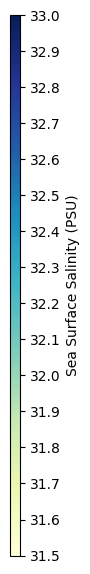 ";
else if ($svar=="elevation")
echo " ";
else if ($svar=="elevation")
echo " ";
?> ";
?>
|
Model info
| Model | COAMPS Version coamps5-ocn_4dvar-branch |
|---|---|
| Source | NCOM Version 4.5.0b |
| time_origin |
Links
S-MODE THREDDS linkPrevious Models
| ${run} | \n"; } ?>